Coordinate Validation
Reject invalid inputs at the library boundary before calculation.
Developer Tooling
Reusable coordinate validation and distance calculations.
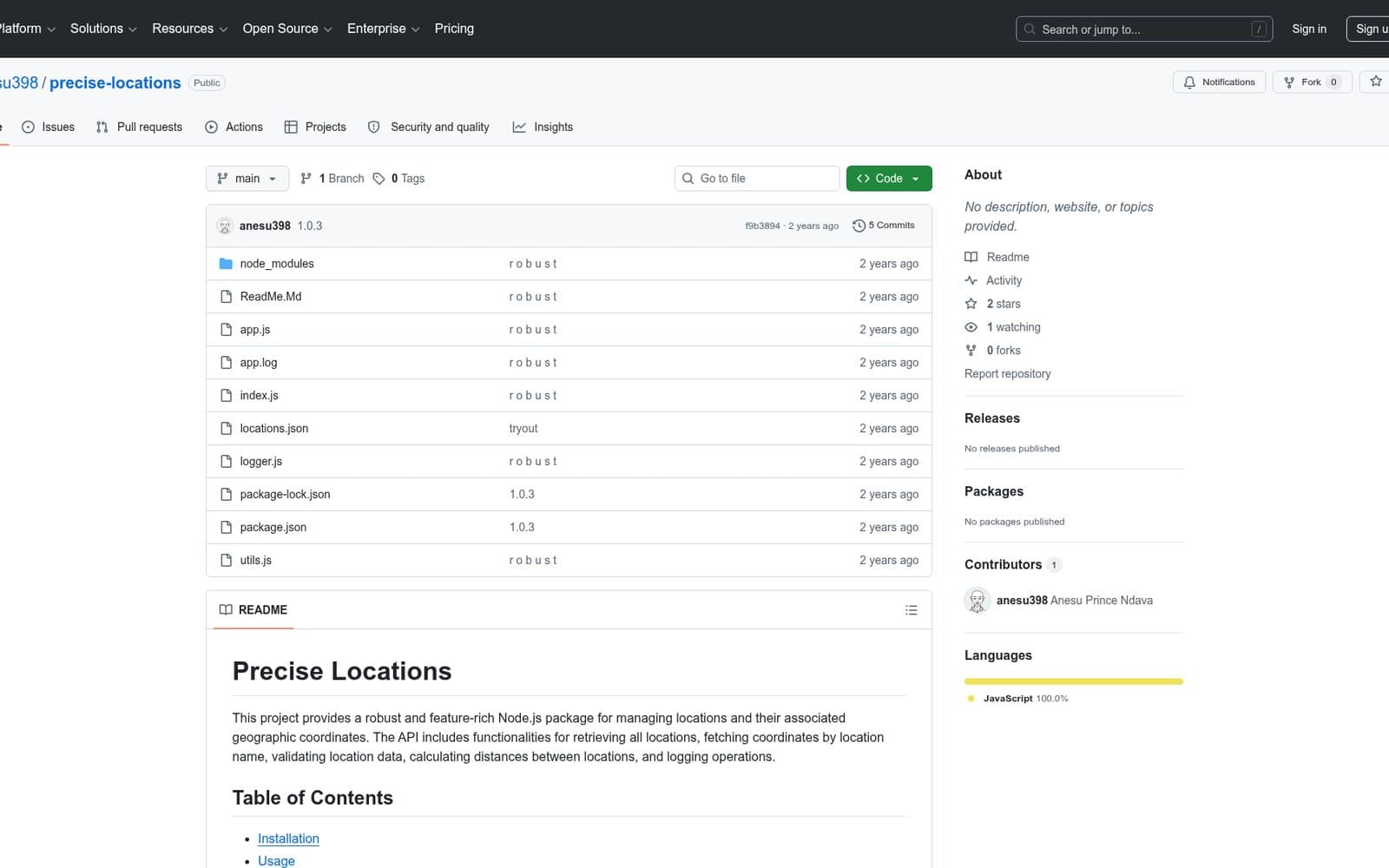
The context
Precise Locations packages coordinate operations behind a small typed interface. The public repository and release history make the implementation inspectable and demonstrate reusable API and release engineering.
The problem
Applications working with coordinates needed reusable validation and distance calculations instead of implementing them repeatedly.
Key requirements
What Rodent built
Rodent built a typed Node.js library that checks coordinate input, calculates distance, and packages those functions for reuse.
Capabilities delivered
Reject invalid inputs at the library boundary before calculation.
Expose reusable location-distance operations to consuming applications.
Make inputs and results explicit for TypeScript consumers.
Bundle functionality for reuse instead of copying implementation between products.
Communicate release changes through semantic versions.
Use repository automation to verify and publish package changes.
System architecture
Data / process flow
Engineering decisions
Focused functions reduce integration overhead and keep location behaviour predictable.
Coordinates are checked before calculation so consumers receive explicit failures instead of misleading output.
GitHub Actions and semantic versioning provide a repeatable package-release path.
Engineering challenges
Small typed functions make invalid input and downstream use easier to reason about.
Packaging and versioning separate the utility from any one product codebase.
Technology in context
Technology supports the product’s interfaces, data and release path. It is part of the engineering explanation, not the outcome itself.
Outcome
The source and release history are publicly available for developers to inspect and use.
Provided a reusable geospatial toolkit for coordinate-driven applications.Related services
Build something similar
Tell Rodent about the operational problem, users and constraints—not just the technology you think you need.